Man-made geyser while drilling for water will flow until the aquifer is exhausted.

Located in Death Valley this spring is the terminus of the Amargosa underground river.
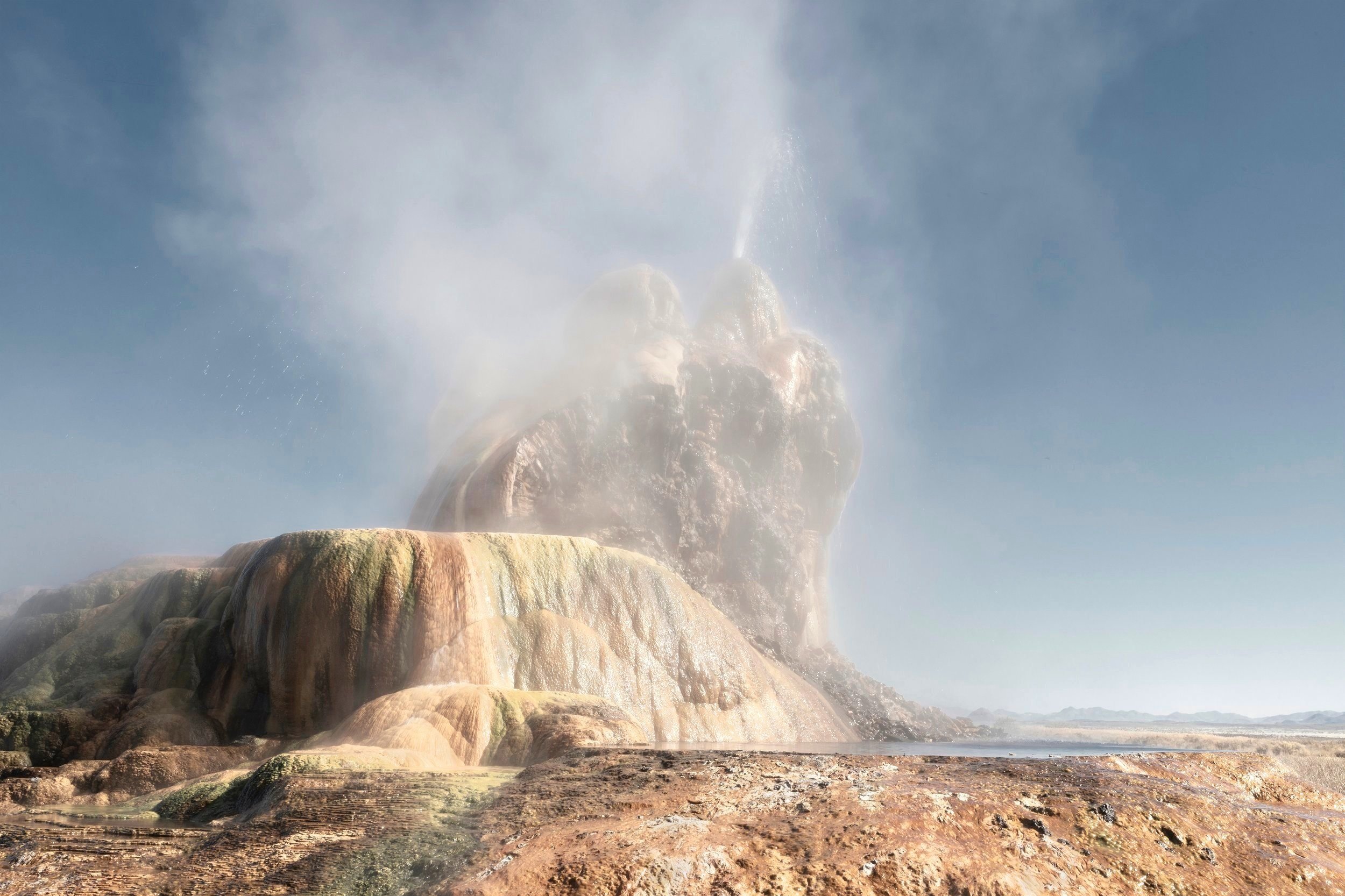
Water-seeking man-made borehole created springs.
Remains of pioneer trading post on the Mormon Honeymoon trail and sometime drinking water for local ranches.
Located at the US Mexico border indigenous people depended on these waters for twelve thousand years in this driest part of Arizona. Today still sacred to the modern Tohono O’odham tribe.
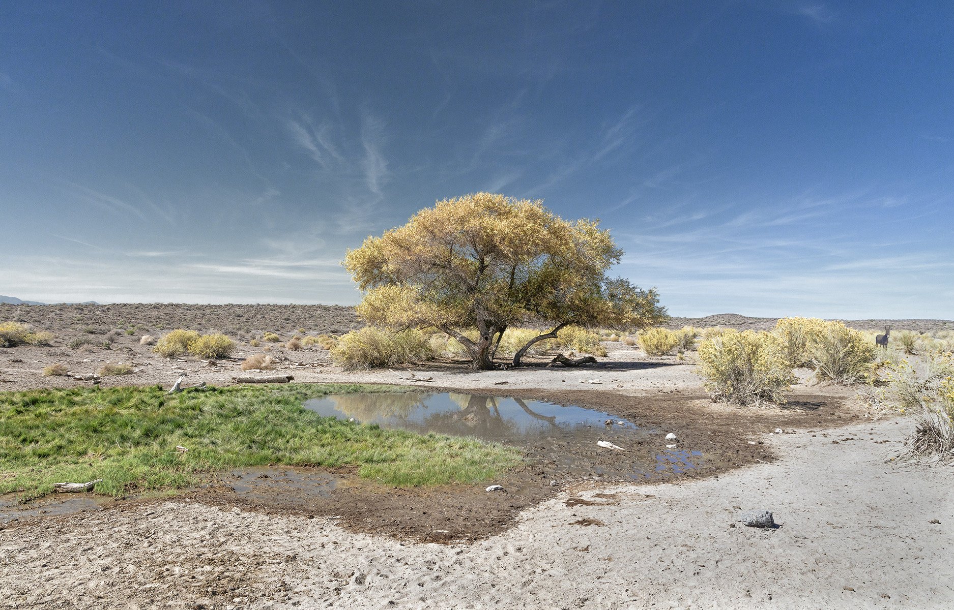
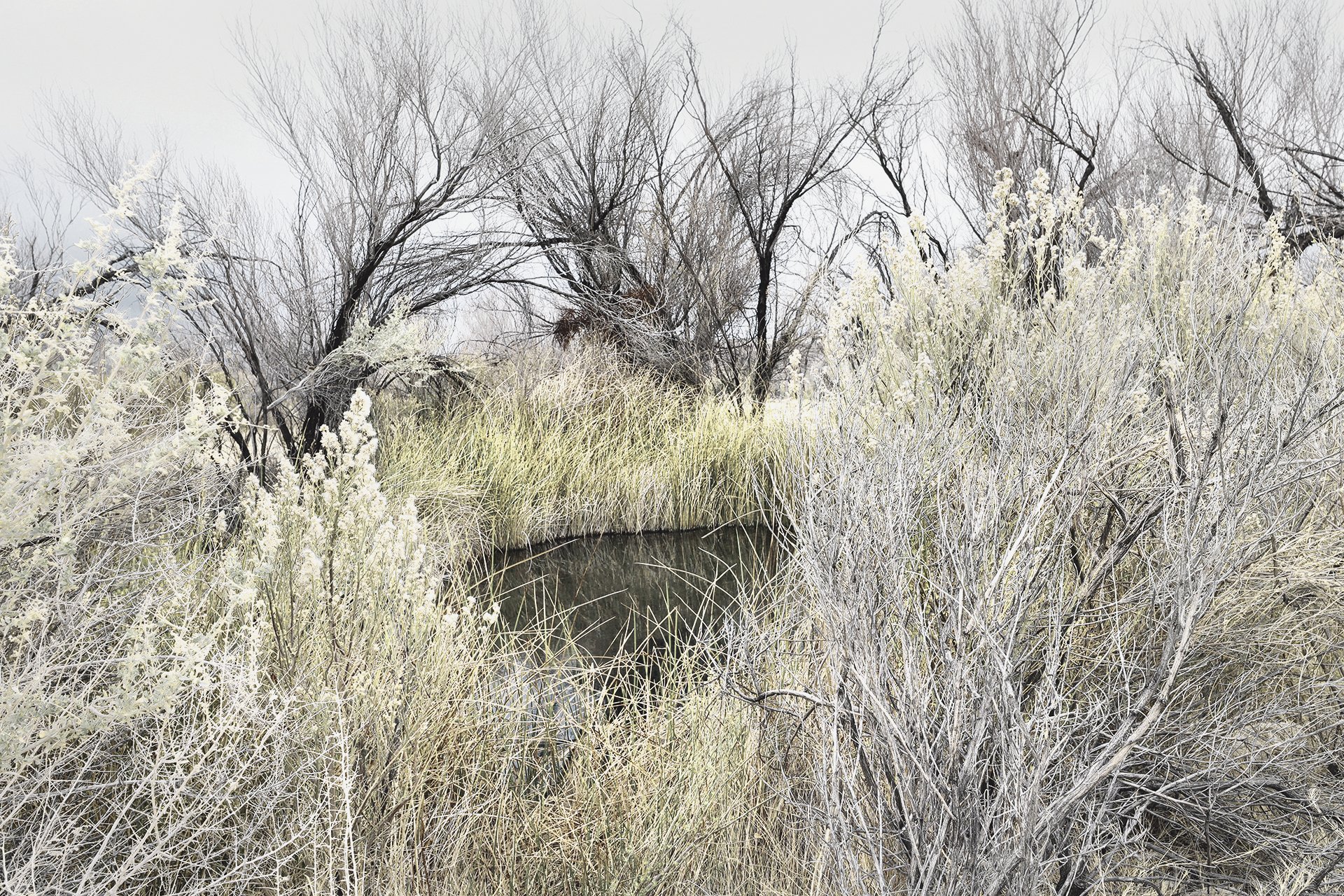
Donkey standing by Rabbit Brush at hoof-trampled seep.
Heavily altered pool at sacred spring site on the O’odham tribe’s Salt Pilgrimage Trail.
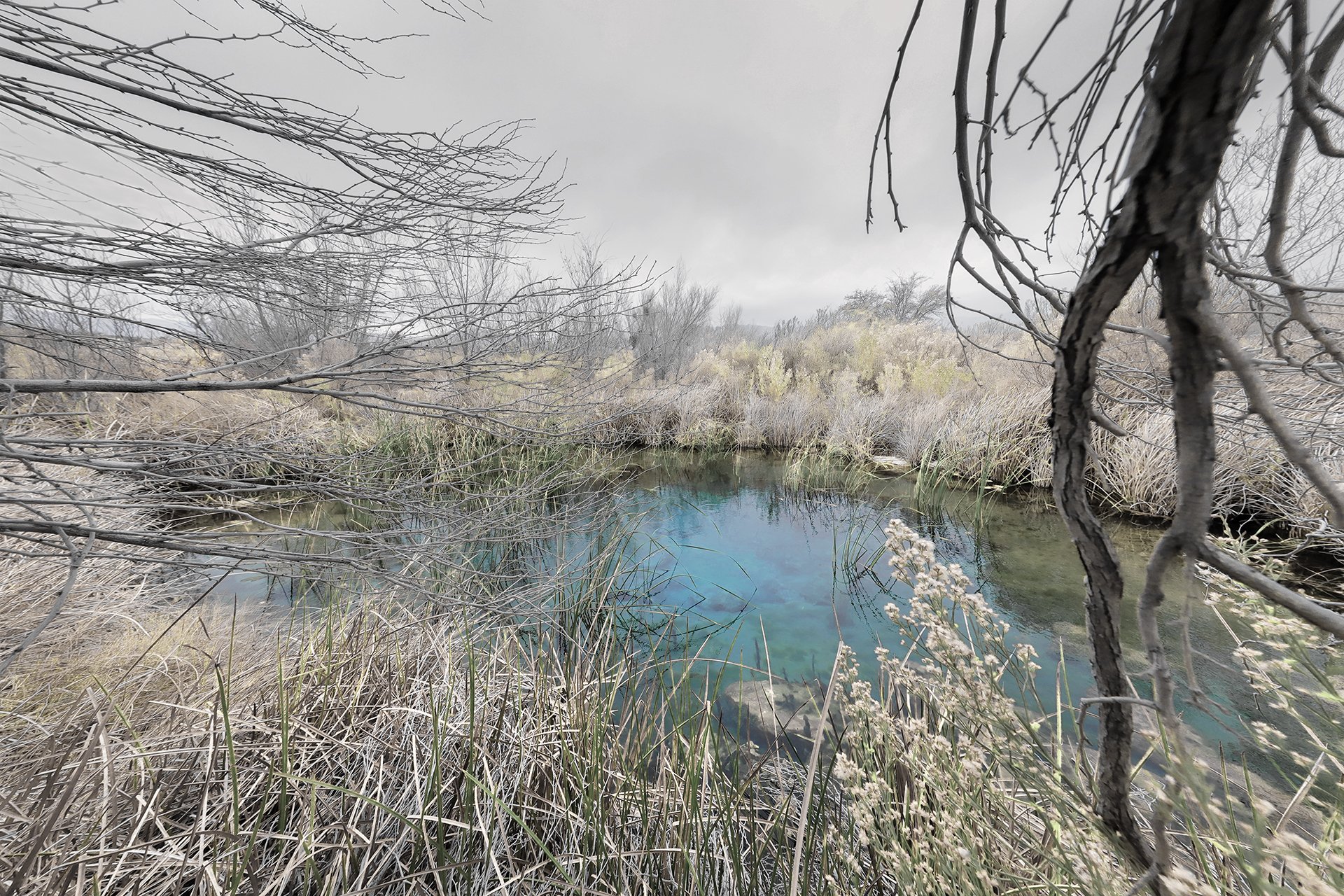
Restored spring part of the largest remaining intact oasis in the Mojave now threatened by proposed Lithium mine on Ash Meadows National Wildlife Refuge border.

Used by indigenous Newe and Numic peoples for over 6,000 years, modern scientists search hyper-saline, extremely hot waters for new medicinal compounds.

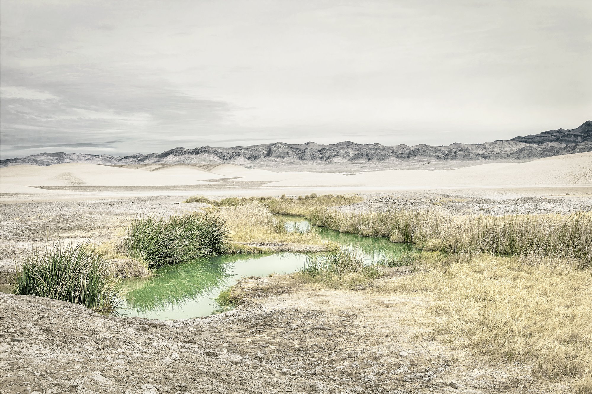
Artesian spring-fed field on conservation land where plans for high power tension lines will be located to transfer electrical power from rural counties to cities in the West.
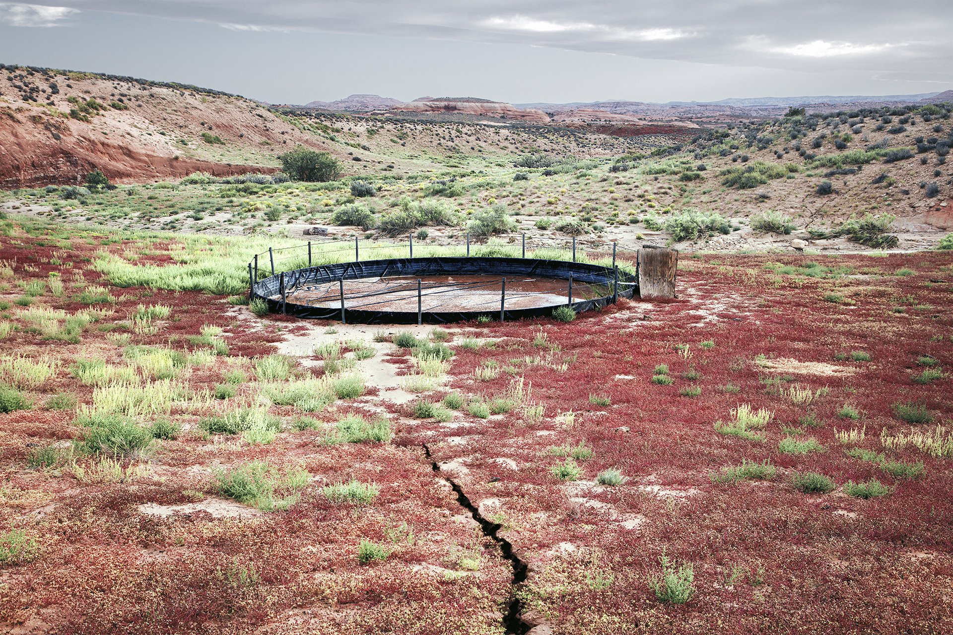
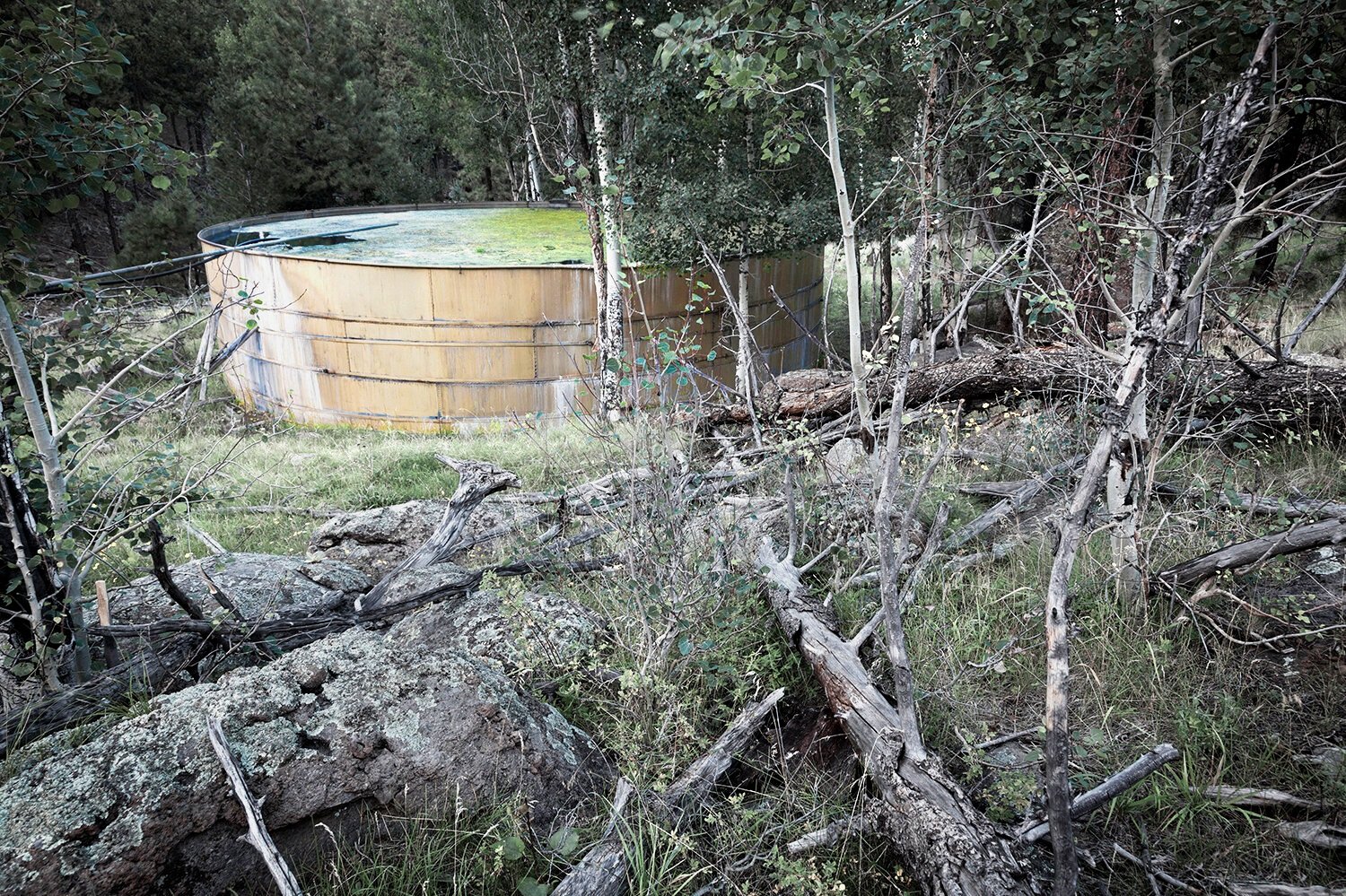
Abandoned livestock watering tank, UT
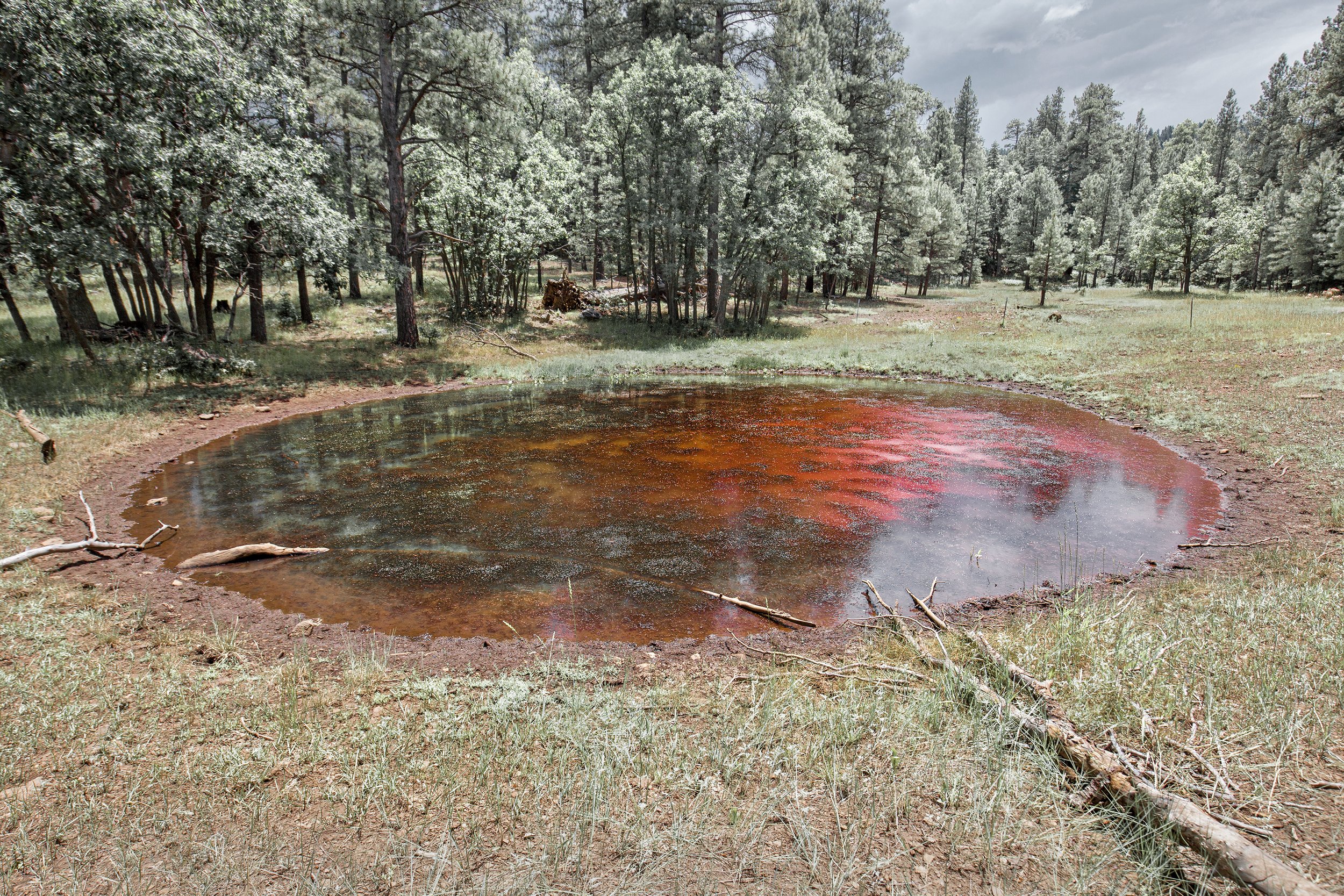
Accidental fly-over forest fire-retardant drop into a spring. The chemicals take several years to resolve.
Original pool of once thriving springs after many years of anthropogenic alterations and severe drought.

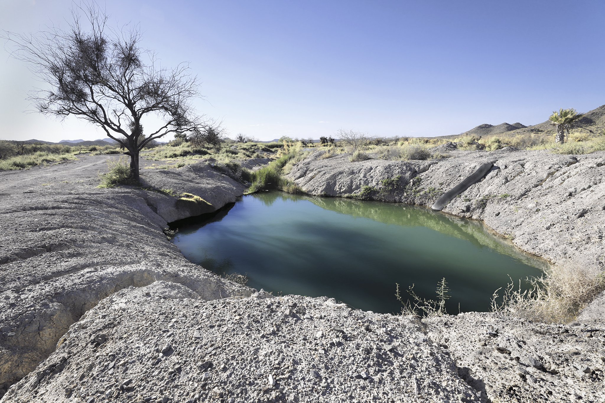
Water mining at anthropogenically dredged spring.

Restored spring, saved from becoming a 20,000 unit residential development on a rainy day/
Ancient Centote, (sink-hole) in Bottomless Lakes State Park a popular place to scuba dive in the desert.

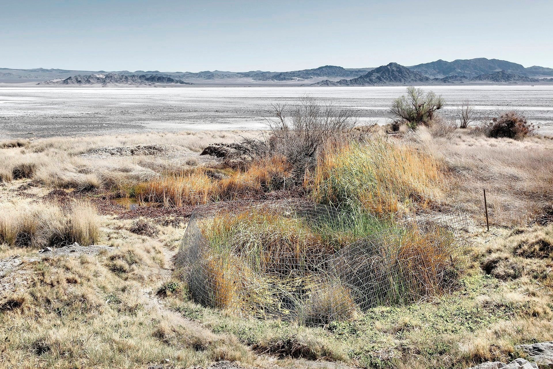
Rescued cienega to protect endangered New Mexico Pecos Sunflower.
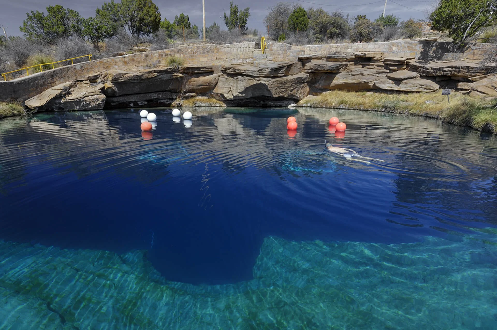
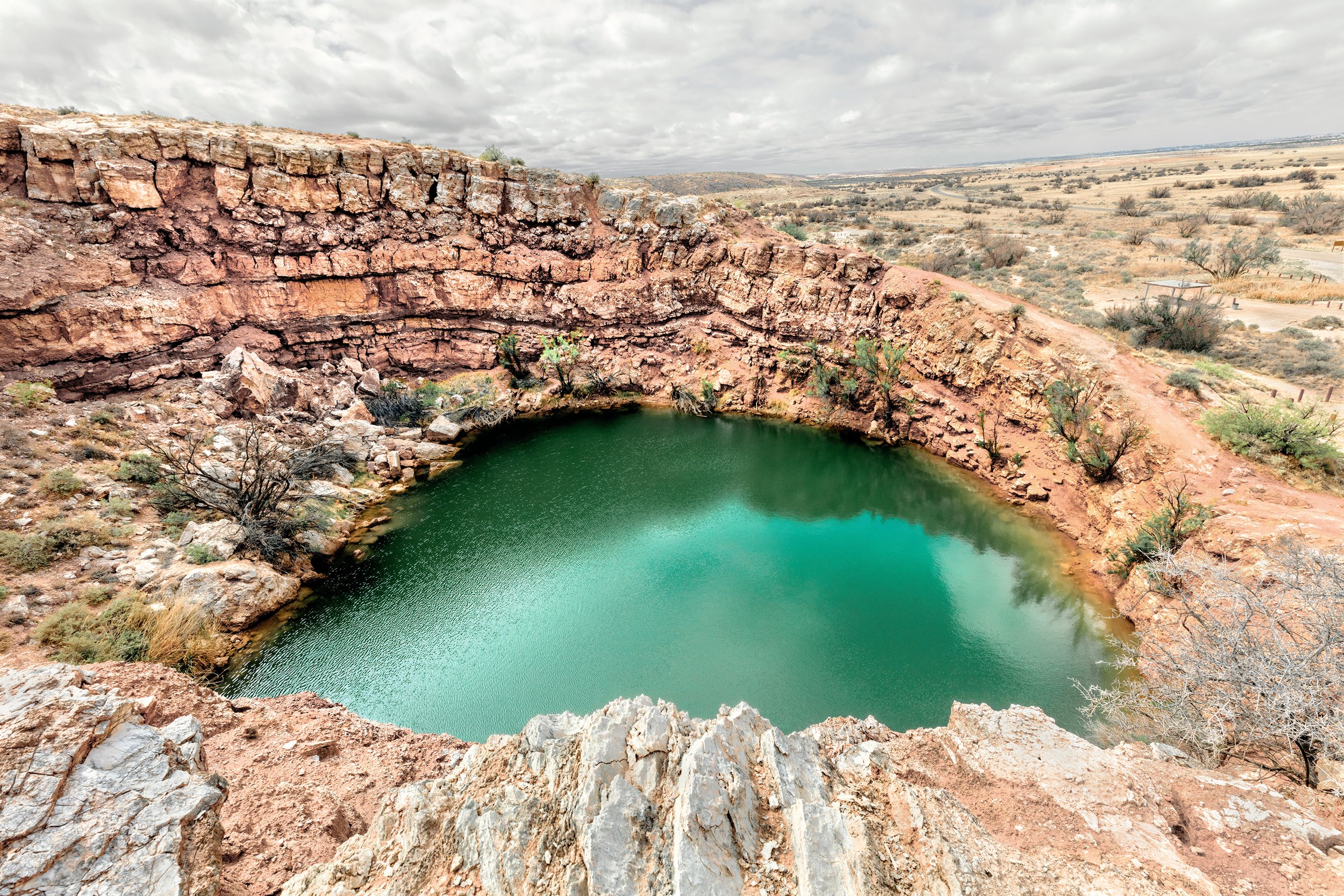
Iconic natural sinkhole 80 feet deep is a popular dive spot in the largest hot desert in North America.


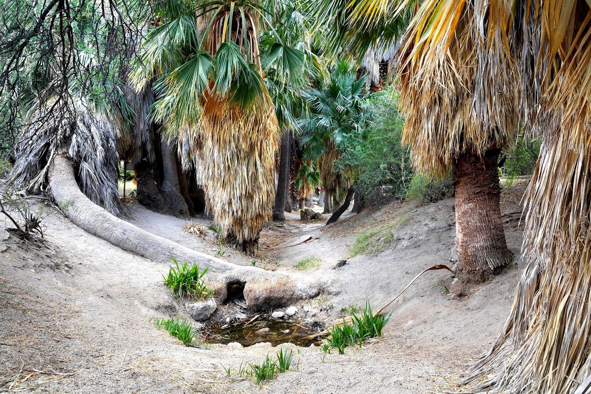
Prospectors in the 19th century looked for palm trees as their water source and bathing place when crossing the Mojave Desert. Tourists enjoy them today.
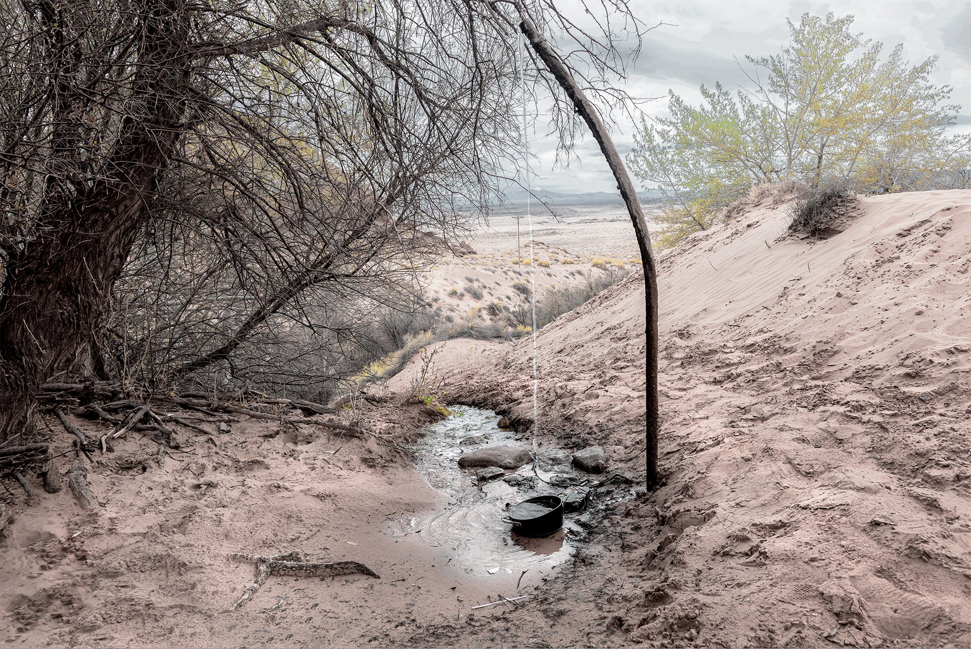
Captured, piped spring water storage tank for livestock watering and fire suppression.
Fence protected spring home of the endangered Mojave Tui fish on important indigenous and pioneer water stop Old Spanish Trail from Santa Fe, NM to Los Angeles, CA.
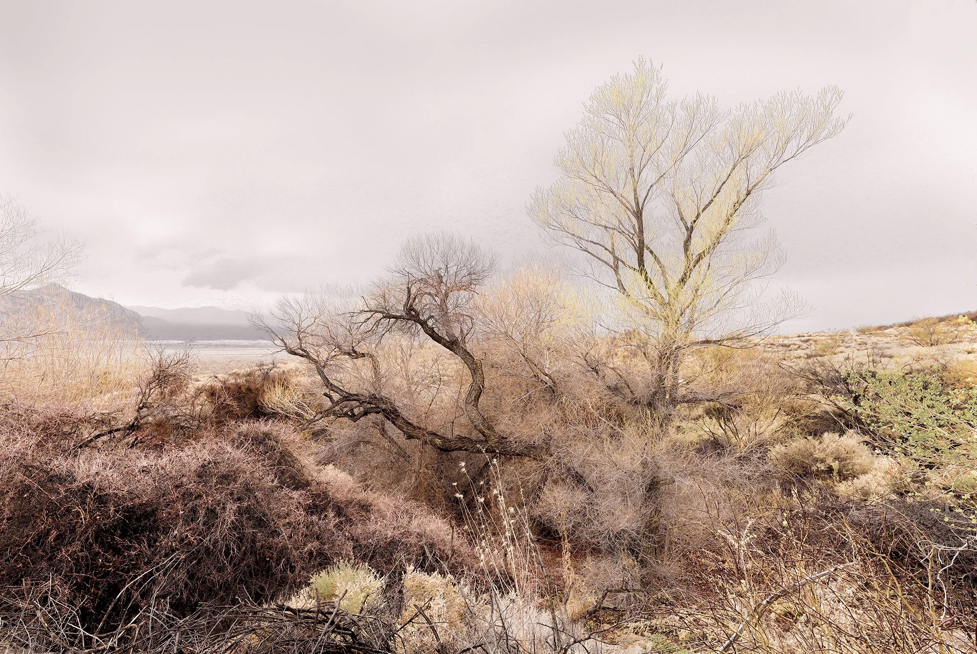

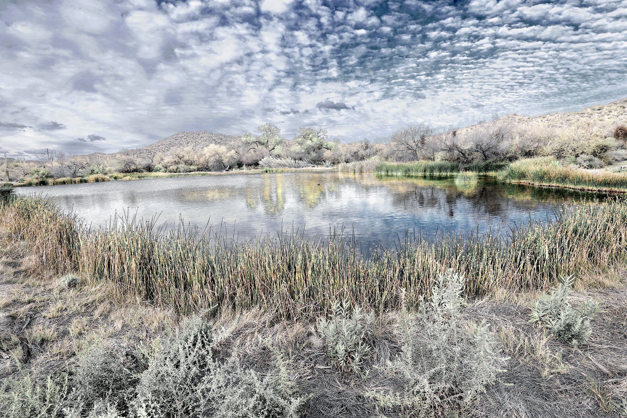
A rare restored marsh-wetland on of the few reamining Cienagas in the Southwest.